


 AutoCAD Map 3D Essentials training
2 days
In centre:
Not available
Live online:
£please call
Key details
AutoCAD Map 3D training course for beginners, teaching how to create, manage and analyse mapping and geospatial data.
The AutoCAD Map 3D toolset provides a platform for creating and managing spatial data, bridging the gap between CAD and GIS and enabling you to integrate geospatial functions in a single environment for more efficient workflows.
Our AutoCAD Map 3D Essentials course provides a thorough grounding in the application and its key features, including geospatial. The topics covered include:
- Working with the AutoCAD Map 3D user interface.
- Linking and managing drawing-based attribute data.
- Using object classification.
- Importing and exporting drawing-based data.
- Working with raster images and source drawings.
- Stylising drawings.
- Plotting maps.
- Establishing a geospatial environment, and using Map 3D’s geospatial features to create, manage and analyse geospatial data.
This course is ideal for newcomers to AutoCAD Map 3D and novice Map 3D users.
If you don’t need to cover the geospatial elements, we can provide your training in 2 days.
AutoCAD Map 3D Essentials training is arranged on-request, i.e. one-to-one training or a ‘closed course’ for your group. Your training can be tailored to take into account any existing knowledge you have, and the work you’re going to be doing.
In-class or online
This course is available in-class at eight centres or live online.
Course times are 9.30am–4.30pm in both formats.
Accredited AutoCAD Map 3D training
Armada is an Autodesk Authorised Training Centre (ATC), and our AutoCAD Map 3D courses are accredited by Autodesk.
Map 3D courses are hosted by Philip Madeley, an Autodesk Certified Instructor, industry expert and Fellow of the Chartered Institution of Civil Engineering Surveyors.
How will I learn?
AutoCAD Map 3D training is hands-on and practical.
Our trainers teach the necessary theory then demonstrate techniques step-by-step. You then practice the techniques taught on a computer running AutoCAD Map 3D.
There is plenty of time to ask questions, and you can take away all the files you create.
AutoCAD Map 3D training guide and certificate
Course delegates receive:
- A comprehensive training guide for AutoCAD Map 3D, to refer to throughout the course, and to use as a refresher afterwards.
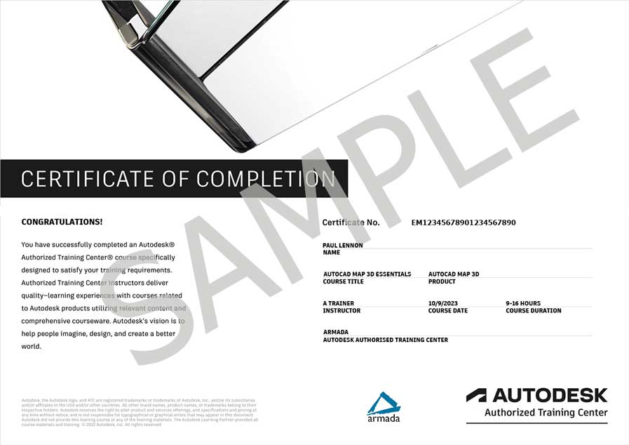
- An e-certificate confirming successful completion of an accredited AutoCAD Map 3D training course. Click here to see an example of the certificate you receive.
After course support
Following AutoCAD Map 3D training, delegates are entitled to 30 days’ email support from their AutoCAD Map 3D trainer to help with any post-course issues. For further details, see Support.
Prerequisites
Delegates must have a working knowledge of an Autodesk design application, such as AutoCAD or Revit. If you don’t have this knowledge, we recommend you attending AutoCAD Essentials training first.
AutoCAD Map 3D version
Training can be based on any recent version of AutoCAD Map 3D to suit you.
General information
Payment
Payment for AutoCAD Map 3D Essentials training can be made by:
- Bank transfer. Please call 01527 834783 for our bank details.
- Card. Visa, Mastercard and American Express cards accepted. Payment can be made securely online or over the phone. Armada doesn’t record or store your card details.
- Buy now pay later. Available for private bookings; pay in 4 x interest-free fortnightly instalments. Facility provided by Clearpay. For details, see Clearpay terms of service.
Purchase orders
We accept purchase orders from UK registered companies with turnover in excess of £1m, and public sector organisations
Accommodation
See Accommodation local to our training centres.
Cancellations and postponements
If an on-request AutoCAD Map 3D Essentials course booking is cancelled giving less than 20 working days’ notice, a cancellation fee is payable. View cancellation terms.
If an on-request AutoCAD Map 3D Essentials course booking is postponed giving less than 20 working days’ notice, a postponement fee is payable. View postponement terms.
Terms and conditions
Expert trainer
Philip Madeley

Philip’s background is in Civil Engineering. He is a Fellow of the Chartered Institution of Civil Engineering Surveyors, and has worked as a Consultant in this industry for many years.
Philip is also a long-standing Autodesk Certified Instructor, with specialist knowledge of AutoCAD and related GIS applications such as Civil 3D, AutoCAD Map 3D and InfraWorks.
Philip’s approach to training is practical. He loves to utilise his knowledge and experience to show delegates how they can make best use of the software on their own projects.
Away from training, Philip’s interests are photography, and watching rugby and cricket. He also does voluntary work, and describes himself as an all-round lover of life.
Course content
Getting Started
- The AutoCAD Map 3D
user interface - Drawing settings
- Coordinate systems
Linking and Managing Drawing-Based Attribute Data
- Object data:
- Creating and attaching object data
- Editing and managing object data
- Creating dynamic annotation
- Database-linked data:
- Connecting to a database
- Defining a link template
- Linking records to objects
- Querying from the database
- Using database information in a drawing
Using Object Classification
- Setting up an object classification
- Classifying, selecting, and creating classified objects
Importing and Exporting Drawing-Based Data
- Importing and exporting GIS data, e.g. ESRI, MapInfo, etc.
Working with Raster Images
- Inserting raster images
- Managing raster images through an attached drawing
- Modifying raster image properties and behaviour
Source Drawings
- Working with source drawings:
- Attaching source drawings
- Drawing aliases
- Using source drawing queries:
- Defining property and location queries
- Defining data queries
- Compound queries
- Altering properties during queries
- Using the query library
- Saving back new and queried objects
Drawing Presentation
- Stylising Drawings:
- About the Display Manager
- Creating display maps
- Creating thematic maps
- Plotting maps:
- Map books
- Drawing output formats
Establishing a Geospatial Environment
- Connecting to a feature source
- Working with point data
- Using coordinate systems
- Query features on connect
Managing Features
- Using bulk copy
- Using joins with feature sources
- Using buffers
- Using calculated properties
- Adding geospatial data validation
- Using overlay analysis
Stylising Features
- Stylising features
- Enhanced feature styles
Workflows
- Using workflow designer for overlay analysis
Editing Features
- Editing feature attributes and geometry
- Working with DEM files
- Moving Data Between DWG™ objects and FDO features
- Merging and splitting features
Job Processes
- Updating parcels with a newly subdivided zoning area
- Creating a map using cartographic standards
- Sharing geospatial data with a third party
Live online training
Online training lets you participate in a live AutoCAD Map 3D course from your place of work or home.
We do everything possible to make your online training experience as close as possible to actually being in the classroom. You can:
- See and hear our trainer, and the other delegates participating in the course…

- Watch our trainer demonstrate techniques in AutoCAD Map 3D.
- Interact by speaking, or using chat.
- Share your screen with our trainer, and allow them to take control to explain something.
Like our in-class courses, online AutoCAD Map 3D Essentials courses…
- Are presented by Autodesk Certified Instructors.
- Give you plenty of opportunity to carry out assisted, practical exercises using AutoCAD Map 3D.
- Offer 30 days’ email support from your trainer.
All you need is an Internet-connected computer with…
- AutoCAD Map 3D installed. If you don’t have a current subscription to AutoCAD Map 3D, you’re entitled to a 30-day trial that’s ideal for participating in training. We’ll send you a link to this. If you’ve already used your trial, we can lend you a license for the duration of your course.
- A webcam and audio capability. If your computer running AutoCAD Map 3D doesn’t have these, you can use a second device, such as another computer or tablet. See Hardware recommendations for live online training for further details.
If there’s anything you’re not sure about we’ll do our best to help you. We won’t be able to assist with your AutoCAD Map 3D installation, but we can provide details for Autodesk support who’ll be able to help you with this.
We provide everything else…
- Links to download the files, resources, etc. you’ll use in your course.
- A training guide. For most courses, you can choose from a printed copy that we post to you, or a PDF.
In the week before your course, we’ll send you an email containing everything you need to prepare for and participate in the training. We’re available in the days ahead of your course to assist if you need any help.
Please note that we are not able to record scheduled online courses for privacy reasons.
When you attend live online training, you’re participating in a real course, hosted by a real trainer, in real time